


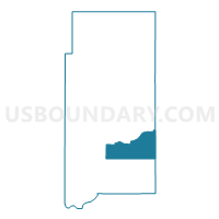
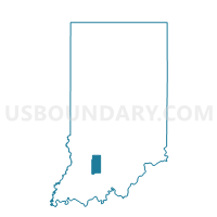
SOUTHEAST HALBERT, Martin County, Indiana
About
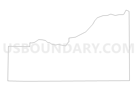
Outline

Summary
| Unique Area Identifier | 579716 |
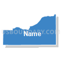
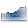
| Name | SOUTHEAST HALBERT |
| County | Martin County |
| State | Indiana |
| Area (square miles) | 19.69 |
| Land Area (square miles) | 19.65 |
| Water Area (square miles) | 0.04 |
| % of Land Area | 99.79 |
| % of Water Area | 0.21 |
| Latitude of the Internal Point | 38.61457170 |
| Longtitude of the Internal Point | -86.74852430 |
Maps

Graphs
Select a template below for downloading or customizing gragh for SOUTHEAST HALBERT, Martin County, Indiana


Neighbors
Neighoring Voting District (by Name) Neighboring Voting District on the Map
- LOST RIVER, Martin County, IN
- NORTHWEST, Orange County, IN
- SOUTH CENTER, Martin County, IN
- SOUTH HALBERT, Martin County, IN
Top 10 Neighboring County Subdivision (by Population) Neighboring County Subdivision on the Map
- Center township, Martin County, IN (1,654)
- Halbert township, Martin County, IN (1,631)
- Lost River township, Martin County, IN (572)
- Northwest township, Orange County, IN (375)
Top 10 Neighboring Unified School District (by Population) Neighboring Unified School District on the Map
- Springs Valley Community School Corporation, IN (5,760)
- Shoals Community School Corporation, IN (4,481)